Berkeley on Film
Fifteen seconds over the ridgeline above Berkeley, where oak and bay woodland run down toward the water and the whole Bay opens up on a clear day.
The hills behind the city
Berkeley climbs steeply from the flats to a ridge about 1,800 feet above the Bay. Much of the high ground is protected parkland run by the East Bay Regional Park District, so a short drive or a long walk uphill from campus puts you on trails with the same views as the film.
Tilden Regional Park covers more than 2,000 acres along the crest, with redwood groves, Lake Anza and the botanic garden of California native plants. North of it, Wildcat Canyon is more open grassland, and the paved Nimitz Way runs along the ridge between the two with views west to the Golden Gate.
Advertisement
Closer to town
You don't need a car for a view. In the North Berkeley hills, Indian Rock is a granite outcrop with stone steps cut in the 1930s, and the top looks straight across the Bay. Above campus, the Strawberry Canyon fire trails climb through oak and bay forest to an overlook by the Lawrence Hall of Science.
Mornings are often foggy, especially in summer. For the clearest views, go in the afternoon or on a bright day in fall or spring, and bring a layer: it is usually cooler and windier on the ridge than in town. The hiking guide has routes for every level.
Parks & Outdoors
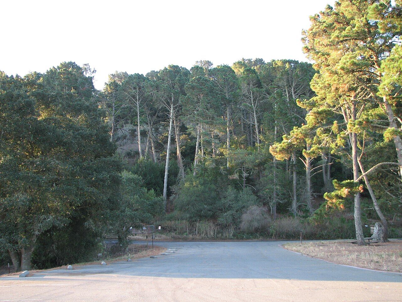
Tilden Regional Park
Large 2,079-acre park in the Berkeley Hills with trails, gardens, swimming, and historic attractions.
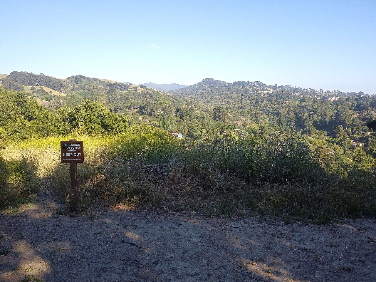
Wildcat Canyon Regional Park
2,800-acre park in the Berkeley Hills with ridge trails, creek canyons, and panoramic views.
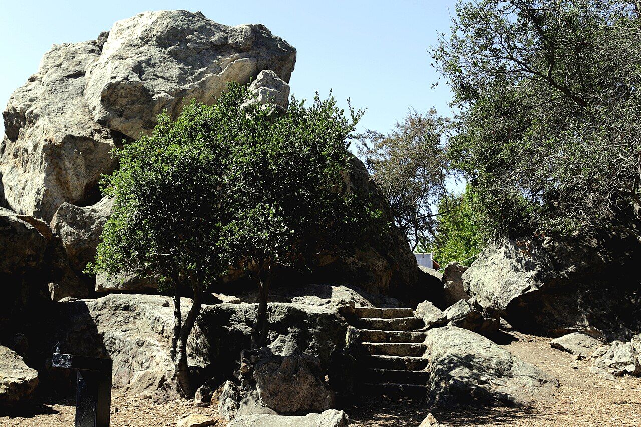
Indian Rock Park
Iconic hilltop boulder with rock climbing and views across San Francisco Bay.