Plan Your Visit · Plan Your Visit
Getting to Berkeley
Fly into nearby airports and take BART, Amtrak, or drive via I-80 to reach the city.
Advertisement
Overview
Berkeley sits in the East Bay, across from San Francisco, making it easily accessible from three major airports. Whether flying in or driving, you have several convenient options to reach the city.
By Air
San Francisco International Airport (SFO), about 25 miles south, is the largest option with the most flight selections. Oakland International Airport (OAK) is only 15 miles away and often offers better fares. San Jose International Airport (SJC), about 45 miles south, may be another choice depending on your flight availability.
The fastest connection from any airport is BART (Bay Area Rapid Transit). From SFO’s international terminals, follow signs to the BART station—no additional shuttle needed. The journey to Downtown Berkeley takes about 55 minutes. Trains run every 15 minutes during the day and every 20 minutes evenings and weekends. Check bart.gov for current fares.
From Oakland (OAK), the automated BART connector runs from the terminals to Coliseum station; its cost is part of your BART fare. From Coliseum, Richmond-bound trains stop at Ashby, Downtown Berkeley and North Berkeley. Check bart.gov for current fares.
From San Jose (SJC), you can take BART, though the journey is longer (about 90 minutes). Alternatively, ride-sharing services are available from all three airports if you prefer direct transportation. Check bart.gov for current fares.
By Train
Amtrak serves the Bay Area via the Capitol Corridor and San Joaquin routes. The Capitol Corridor connects San Jose to Auburn with stops throughout the Bay Area. Capitol Corridor trains stop at Berkeley station, at University Avenue and Third Street in West Berkeley; from there, AC Transit buses run up University Avenue to Downtown. Check schedules and fares at capitolcorridor.org or amtrak.com.
By BART
Once in the region, BART is the backbone of regional transit. Berkeley has three BART stations: Downtown Berkeley (on Shattuck Avenue, two blocks west of campus), North Berkeley (at Sacramento and Delaware streets), and Ashby (at Adeline Street and Ashby Avenue in South Berkeley). These stations connect to San Francisco, Oakland, Walnut Creek, and other Bay Area destinations. BART stops running around midnight; check bart.gov for the last trains. For late-night travel, AC Transit runs some All Nighter bus routes.
By Car
Interstate 80 is the main route into Berkeley from both directions. From San Francisco, take I-80 east across the Bay Bridge (toll applies). From the south, I-880 connects to I-80 north toward Berkeley. From the north, I-80 south leads directly into the city. Check 511.org for current bridge toll rates. Parking is limited and metered throughout Berkeley; see the “Getting Around Berkeley” guide for details on where to park.
Highway 13 (Tunnel Road) provides an east-west connection through the Berkeley Hills if you’re coming from Oakland.
By Bus
Several transbay bus routes operate between Berkeley and San Francisco. AC Transit operates routes connecting Berkeley to SF and surrounding areas. Megabus and other regional bus services occasionally run into the area, though schedules vary.
Getting from Downtown Berkeley
Once you arrive at Downtown Berkeley BART, the Visitor Information Center is just one block north on Addison Street. From any BART station, you can walk to much of Berkeley or continue on local buses.
Advertisement
More Plan Your Visit
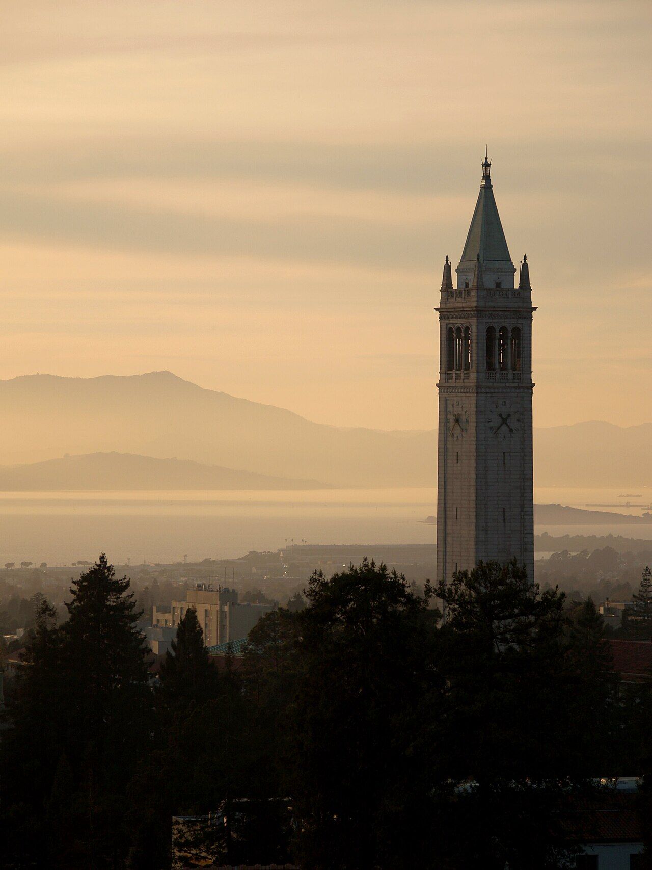
Accessibility
Berkeley provides ADA accommodations, accessible parking, transit, and campus mobility services.
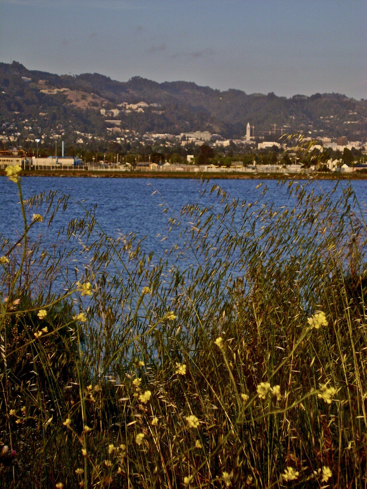
Day Trips from Berkeley
Explore San Francisco, Oakland, Napa/Sonoma wine country, and dramatic natural areas within an hour.
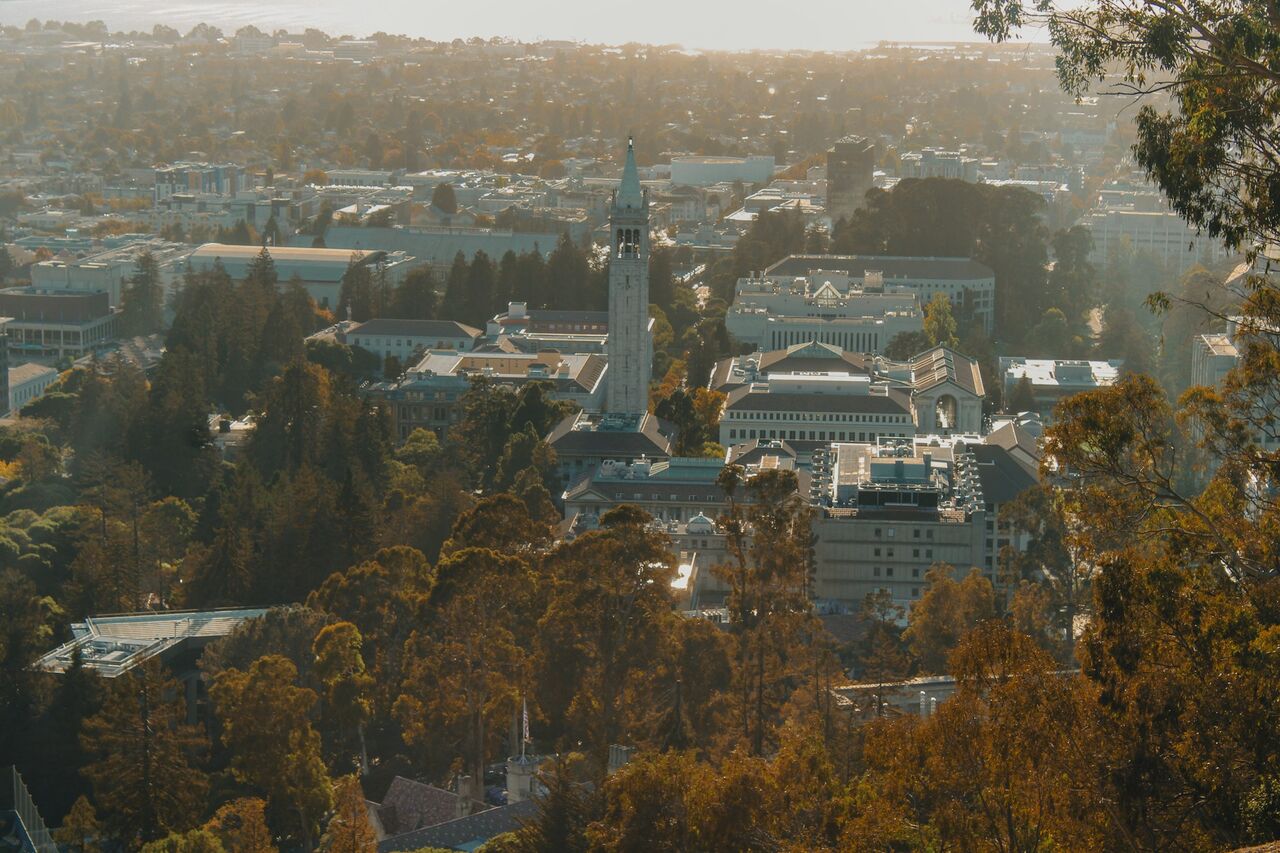
Getting Around Berkeley
Use AC Transit buses, BART, bicycles, and Bay Wheels bike-sharing for mobility around the city.