Guides · Outdoors
Best Hikes in and near Berkeley
Explore East Bay Hills and regional trails from easy nature walks to challenging mountain hikes.
Advertisement
Easy Hikes (Beginner-Friendly)
Caesar Chavez Park Viewpoint Loop (2.55 km / 1.6 miles)
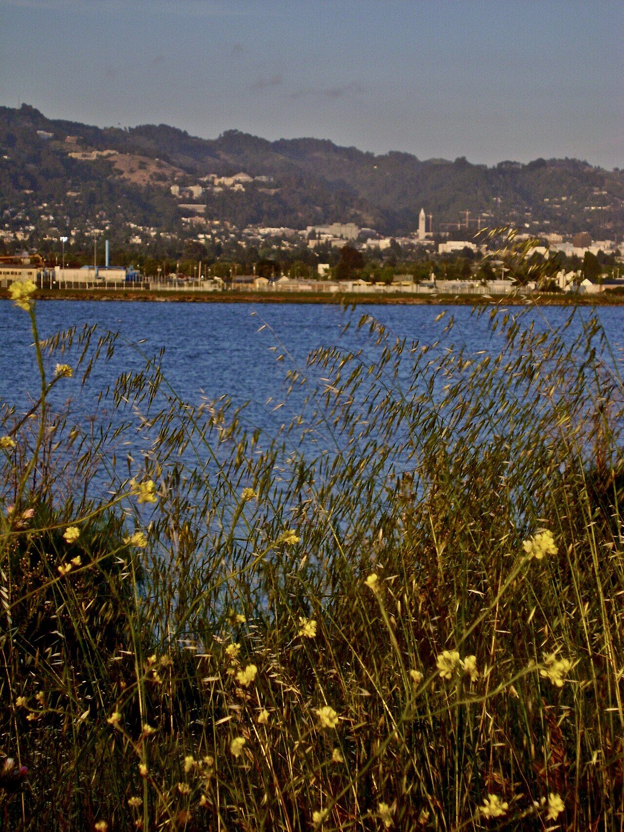
This easy loop starts from César Chávez Park at the Berkeley Marina and offers bay views and waterfront walking. The trail is flat, suitable for all fitness levels, and perfect for families. Park at César Chávez Park (waterfront parking available). Allow 45 minutes to 1 hour. Great for sunset watching or casual waterfront strolls.
Berkeley Rose Garden Walk (1 mile)
While technically a garden rather than a hiking trail, the Berkeley Rose Garden offers a scenic, gentle 1–1.5 hour walk through 7.2 acres on Euclid Avenue. Paved paths, beautiful blooms May–September, and views. Free. No elevation gain.
UC Botanical Garden Loop (1.5–2 miles)
The UC Botanical Garden at Berkeley, located in the hills above Lawrence Hall of Science, offers walking paths through diverse plant collections. Steep in some sections, but you can control your pace. 1.5–2 hours for a complete stroll. Admission required.
Moderate Hikes (Intermediate)
Claremont Canyon Regional Preserve (3–4 miles)
This trail winds through Claremont Canyon, accessible from multiple trailheads. The Spiral Knob loop within the preserve is a popular 10.7 km (6.6-mile) moderate hike with approximately 500 meters (1,640 feet) of elevation gain. The trail climbs through oak woodland, offering views of the bay and surrounding hills. Park near UC Berkeley’s Clark Kerr Campus. Allow 3–4 hours. This hike is popular among locals and offers excellent views from the ridge.
Berkeley Hills Ridgeline Trails
Several trails offer ridge-top walking with panoramic bay and Golden Gate Bridge views. Trails in Tilden Regional Park and along Skyline Boulevard provide moderate challenge with excellent rewards. Starting points include Wildcat Canyon Park (north) and Redwood Regional Park (south). Allow 2–3 hours depending on route.
Indian Rock Park (0.5–1 mile)
A short, scenic hike to Indian Rock (near Marin Avenue and Arlington Avenue), offering 360-degree views of Berkeley, the bay, and San Francisco. Steep in sections but short overall. Allow 30–45 minutes. Popular for sunset watching, though parking is limited on weekends.
Challenging Hikes (Advanced)
Tilden Regional Park Network
Tilden Regional Park offers numerous interconnected trails ranging from easy to challenging. Popular hikes include:
- Wildcat Peak Trail Loop: 4–6 miles with significant elevation gain, offering panoramic East Bay views.
- Sibley Volcanic Regional Preserve (south of Tilden): Hiking through volcanic landscape with bay views.
Allow 2–4 hours depending on route chosen. Multiple parking areas available.
Redwood Regional Park
South of Berkeley, this park features old-growth coast redwoods and creek-side trails. Several routes range from 2–6 miles, with moderate to challenging elevation changes. Allow 2–4 hours. Excellent for shade on warm days. Parking available at trailhead.
Hiking Essentials
When to Hike
- Best seasons: Fall (September–November) and spring (March–May) offer cool temps and clear skies.
- Summer: Can be hot; hike early morning and bring extra water.
- Winter: Trails can be muddy; sturdy boots essential. Days are short, so start early.
Packing Checklist
- Water (at least 2 liters for moderate/challenging hikes)
- Sun protection (sunscreen, hat)
- Sturdy footwear (hiking boots or trail shoes)
- Layers (mornings and evenings are cool)
- Snacks and lunch
- Map or hiking app (AllTrails, Komoot, or local trail maps)
- Phone with emergency contact info
Safety Tips
- Hike during daylight hours; trails close at dusk.
- Stay on marked trails.
- Check weather before departing; Bay Area weather can change quickly.
- Inform someone of your hiking plans.
- Bring a headlamp or flashlight even on daytime hikes (useful if you’re delayed).
- Watch for mountain bikers and other trail users on shared trails.
Getting There
From Berkeley Downtown
- By car: Drive east into the hills via Euclid Avenue, Northside Drive, or Claremont Avenue to access various trailheads.
- By transit: AC Transit routes 51B and 51M serve the Lawrence Hall of Science area. Other trailheads require a car or car-sharing service.
Popular Trailhead Parking
- Tilden Park: Multiple free parking areas at various entries
- Claremont Canyon: Parking near UC Berkeley’s Clark Kerr Campus
- Indian Rock Park: Limited street parking (arrive early or come weekday)
- César Chávez Park: On-site waterfront parking (fee applies)
Trail Resources
- Komoot: Excellent hiking guides with ratings and detailed route information.
- AllTrails: User reviews, photos, difficulty ratings.
- East Bay Parks: Official site for Tilden, Redwood, and other East Bay Regional Parks.
- Berkeley Path Wanderers: Local organization with detailed path guides, including urban stairway walks.
Seasonal Highlights
- Spring (March–May): Wildflower blooms, moderate temperatures, increased water flow in creeks.
- Fall (September–November): Clear skies, golden light, minimal rain, comfortable temps.
- Summer: Hot at midday; hike early morning, bring plenty of water.
- Winter: Rainy and muddy; fewer crowds, dramatic skies, possible Golden Gate Bridge views on clear days.
Berkeley and the East Bay Hills offer exceptional hiking for all levels, from easy waterfront strolls to challenging mountain climbs. Start with an easy trail to orient yourself, then explore the region’s diverse landscapes.
Advertisement